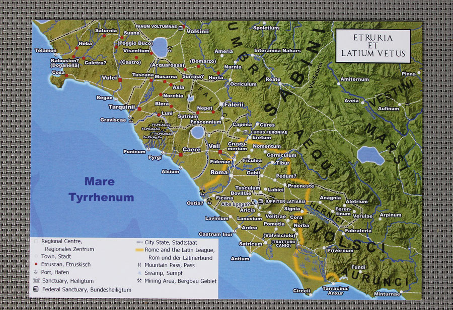
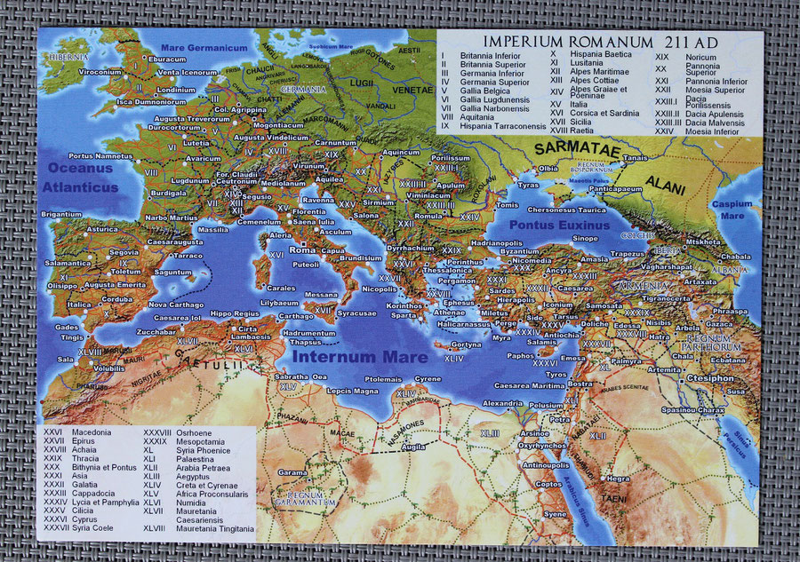
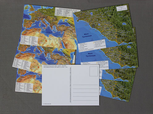
Already a few months ago by now, the last examples of my postcard Etruria et Latium Vetus were sold out and also the stock for Imperium Romanum 211 AD postcards was running very low. Now both are back in stock in sufficient quantities.
Both postcards are standard sized (DIN A6, 14,8 x 10,5 cm) and printed on robust postcard board. The matte backside allows for a good writability.

Etruria et Latium Vetus takes us the back to the origins of the Roman state. It depicts the world of early Rome and their neighbors, the Etruscan heartland, in about 500 BCE. Originally this map was designed as one of the ancillary maps for my big wall map Dawn of the Classical World, later adapted to fit onto a postcard sized canvas. The scale had to be reduced by less than a factor two for this, thus all features could be included and nothing had to be cut. Due to the smaller viewing distance for maps in books or on postcards the size of labels can be reduced to some degree without making the map harder to decipher.
Some more words about the depicted area and its era can be found in the comment section for the wall map.
While Etruria et Latium Vetus was reprinted almost unchanged, with just a few features added, the new edition of the Imperium Romanum 211 AD postcard was somewhat more optimized by slightly increasing the letter size of all labels. Unlike the former it has to cover the entire area of its namesake DIN A0 sized wall map, Imperium Romanum 211 AD, thus only the most important elements like provincial borders and capitals could be depicted.

A completely new postcard, based on my wall map Ancient Egypt, is currently under development and will be available in a few weeks.


Write a comment